
Presenting Marietas Islands Virtual Tour
For those adventurers seeking new ways to satisfy their wanderlust, Riviera Nayarit has recently presented a new interactive tour of the impressive Marietas Islands, with more than 30 images and 360-degree views.
This virtual tour was a collaboration between the Riviera Nayarit Conventions and Visitors Bureau, the Bahía de Banderas municipal government, the companies Jebus Media and Mictlán Surf School, as well as the renowned photographers Andrea Fanni, Francisco Valdez and Samuel Reséndiz.
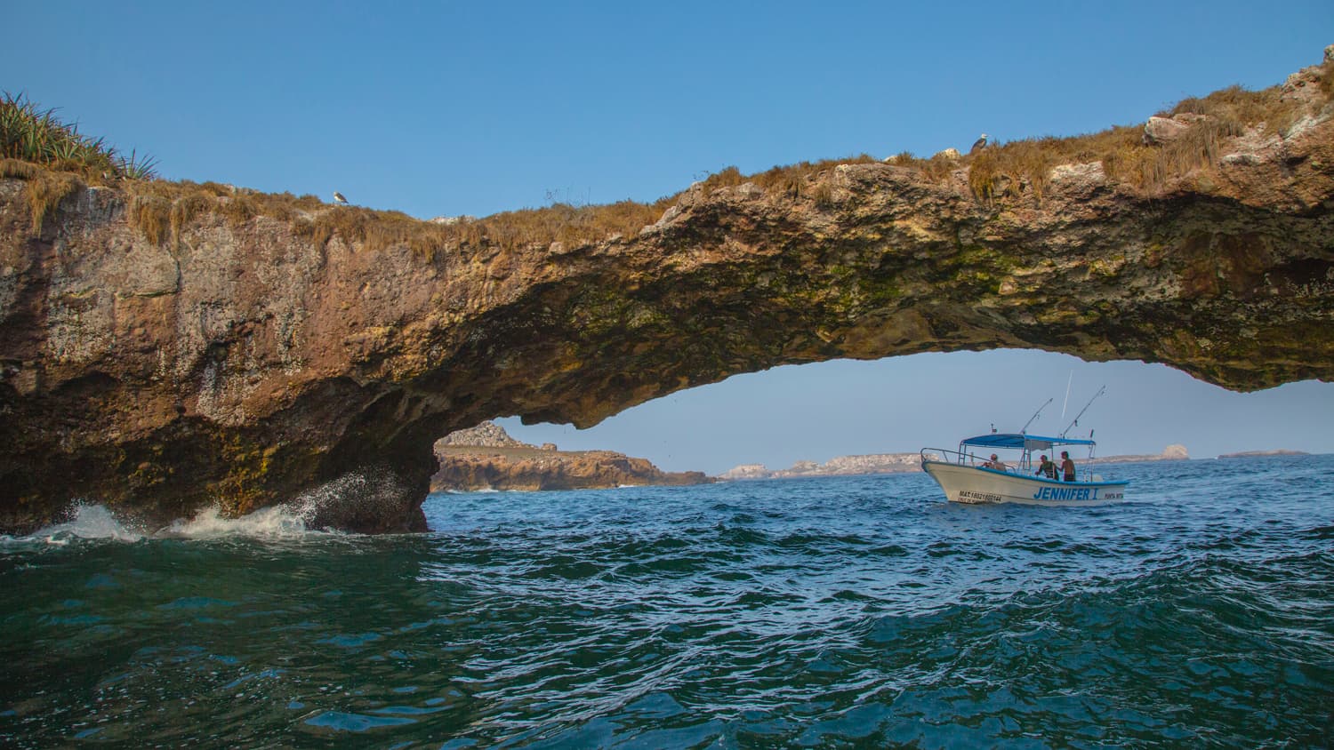
In addition to virtually visiting the Hidden Beach or Beach of Love and learning more about the flora and fauna inhabiting in and around the islands, viewers can explore La Nopalera Beach, the Puente de Piedra (Stone Bridge), El León, Los Morros and the Mictlán Cave, among other landmarks.
Named in 2005 as the Marietas Islands National Park, this archipelago is located on the north coast of Banderas Bay, just 5 miles away from Punta de Mita coast. It is composed of two islands separated by 900 meters, which date back some 60,000 years and resulted from volcanic activity. While Isla Redonda (where Beach of Love is located) is about 1,000 meters long and 500 meters at its widest point, Isla Larga is about 900 meters long and 400 meters wide. Around them, there are also other islets and mounds.

Comments