
The Evolution of the Puerto Vallarta’s Port Terminal Infrastructure
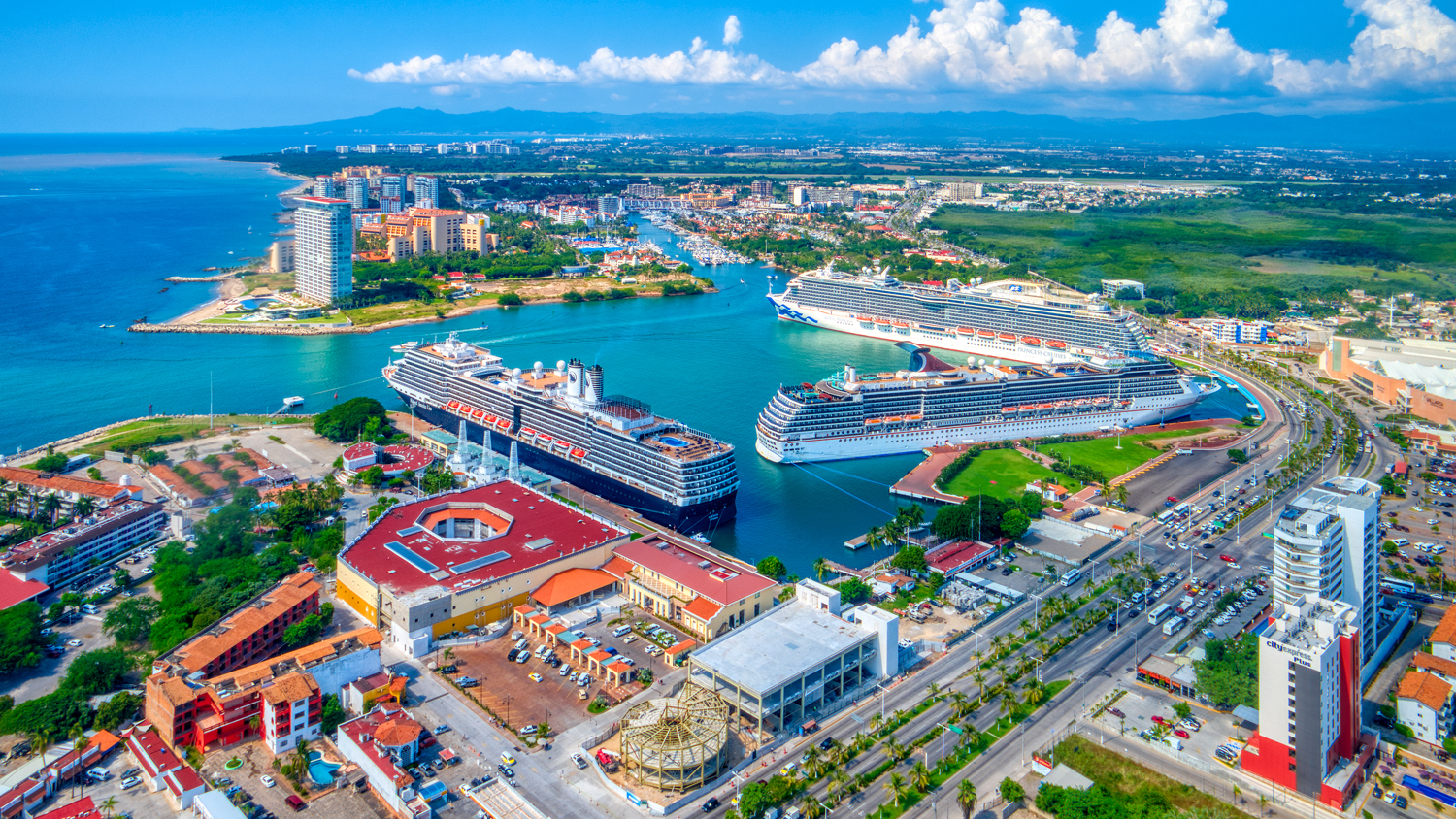
When talking about the Puerto Vallarta’s port terminal infrastructure it is inevitable to think of the arrival of the big and spectacular cruise ships to our destination. However, years of work were required to complete a place that is still in development.
The construction of the Puerto Vallarta port terminal began in 1968 with resources from the Federal Government and it was completed in 1970.
Initially, it included a docking position for cruise ships and a terminal for ferries (but this service was provided until 1987). In 1994, the Administración Portuaria Integral (API) was created, which gave a strong boost to the growth of shipping activities and investments. In 1996, Pier 2 was built for cruise ships of 820 feet in length and in 2007 the construction of two new piers was completed.
Today, Puerto Vallarta’s port has three berth positions to simultaneously serve up to three cruise ships of the highest specifications.
Puerto Vallarta belongs to the National Nautical Ladder, which is made up of the tourist marinas that operate on the Mexican coast of the Pacific Ocean and serve private vessels (national and foreign). Baja California, Baja California Sur, Sonora, Sinaloa, Nayarit, Jalisco, Colima, Guerrero, Oaxaca and Chiapas compose this ladder.
This port’s geographical coordinates are 20º 39’ 09’’ north latitude and 105º 14’ 30’’ west longitude.

Comments